HEDGE DATING IN BLIND LANE
There’s sometimes more to a hedge a than meets the eye. At this verdant time of the
year, some gardeners curse their untidiness but we local historians love them. Out
in the countryside apparently ancient hedges lining the footpaths raise interesting
questions which then become the starting point for research, as footpaths are always
there for good a reason with their own story to tell.
If nineteenth century OS maps are the only available historical source, other
methods are used to try and establish the date of a hedge boundary. In 1974 Dr Max
Hooper carried out a scientific study which evolved into Hooper’s Rule. Based on
the principle of self seeding, he was able to show that hedgerows can be dated accurately
by counting the number of species of indigenous shrubs and tree in a sample 30 yard
(28 m ) stretch, each species representing 100 years.
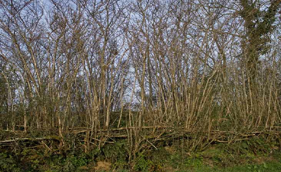
Devon Hedgebanks
However there is are contradictions. For example an eighteenth century document
found among papers from the parish of Cruwys Morchard in the Devon Record Office
describes the construction of a Devon hedgebank. It confirms that mixed species
were planted on new Devon hedgebanks during this period. Self seeding may therefore
not necessarily be a valid argument to support the rule. Founder father of contemporary
Local Studies W.G. Hoskins, also pointed out that the number and types of species
vary from county to county, which casts further doubt on Hooper’s Rule as an accurate
dating tool. So unless it can be verified with historic records, it cannot stand
alone.

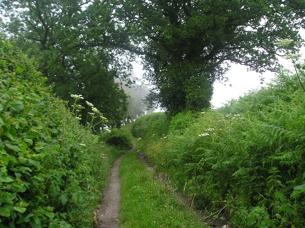
Blind Lane, Thorncombe © Eve Higgs
Evidence here on the ground in Thorncombe and the chance discovery of an obscure
historic document during an indexing exercise, suggests that the Rule may be correct
in this neck of the woods. Local walkers will tell you that their most direct
route between Thorncombe and Winsham is the footpath across the fields, via the
bridleway which follows Blind Lane, (opposite Gribb View) passes through Chitmoor
and eventually links to an old track to Shedrick Mill which follows the course
of the Synderford to the footpath to Winsham from the bridge on Wheelhouse Lane.
It would seem until the car became our prime means of transport, that local people
have indeed been following this route between the two communities for centuries.

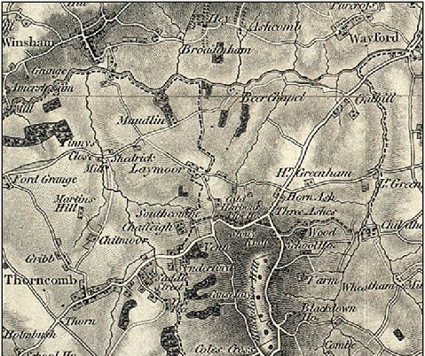
1811 OS map Sheet 18 1:63360 showing the track linking Blind Land to Winsham via
Maudlin
© British Library (www.imagesonline.bl.uk)
Reproduced by kind permission
A hedge dating survey carried in September 2010 identified elder, holly, hawthorn,
hazel and sycamore along a 30 yard stretch of Blind Lane. Applying Hooper’s Rule
suggests it is at least 500 years old. A transcription of a 1549 charter in Somerset
& Dorset Notes & Queries describes a transaction relating to land belonging to John
Chydley abutting the tenement ‘in the lane called Blynd lane’, which belonged to
John Veer, Earl of Oxford. This supports the 2010 survey findings.
We are so very lucky that so many footpaths and historic boundary hedges survive
around here. According to Hooper’s Rule if you also spot ash, blackthorn, oak, briar
rose and dogwood in a hedge along a footpath, it is likely to be even older than
Blind Lane.
© EVE HIGGS
August 2011


