AROUND THORNCOMBE BY SHANKS’S PONY
Public footpaths are as much a part of our heritage as old buildings. They give us
access to the wonderful countryside, the flora and fauna which surround us and also
give us insights into the lives of previous generations. The parish of Thorncombe
is richly endowed thanks to Thorncombe Women’s Institute, who in 1962 drew up the
first map on which the Definitive Footpath Map is based. Subsequent efforts over
the last 50 years by Dorset County Council Highways Department, Thorncombe parish
councillors, individual enthusiasts, the Ramblers and Thorncombe Village Trust members
have made sure that its precious historic network is updated, maintained and preserved
for future generations. Various Thorncombe footpaths link into the national long-distance
network via the Jubilee Trail, Liberty Trail, Monarch’s Way and Wessex Ridgeway Trail.
Each path is there for a reason, a means to an end. Until the advent of the car
and well maintained roads, these routes across fields, along river banks, through
combes and woods, were used daily in some cases for centuries, by agricultural labourers
going to and from their work, by others going about their business and on a weekly
basis by churchgoers. Walking is now a leisure activity, part of a healthy lifestyle,
and enjoyed by young and old alike. You don’t need a dog to have a reason for going
for a walk! As well as giving us opportunities to spend quality time with our families,
friends and neighbours or a bit of mental space to take stock, walking local footpaths
also puts us in touch with those who have gone before us and helps give us a sense
of who we are and where we live.
Walks 1-6 all start and end outside the parish church of St Mary. Various footpaths
converge nearby, and set out in various directions to the further reaches of the
parish, shadowing the footsteps of our churchgoing forefathers. With Sunday worship
in mind, Walk 7, a perambulation around Holditch, starts and finishes at the ruined
15th century chapel of ease, built for the convenience of the inhabitants of Holditch
Manor, which was two miles from the parish church. Some walks are longer than others.
Allow about an hour for the shorter ones and maybe an hour and a half for the longer
ones. It depends how fast you walk and how often you stop to catch your breath, admire
the view and listen to the bird song in the otherwise silence.
EVE HIGGS
Walk 1: Sadborow Pound to School House
Walk 2: A Glimpse of the Devil’s Jumps
Walk 3: Chaffeigh, Shedrick & the Strawberry Fields
Walk 4:Tansee Hill to Yew Tree Farm
Walk 5: Hewood & Partway
Walk 6: Forde Abbey Estate
Walk 7: Holditch Perambulation
Walk 8: An Amble around the Village
Walk 9: A Village Walk
Walk 10: Lost Roads & Hidden Holways
All walk descriptions © Eve Higgs
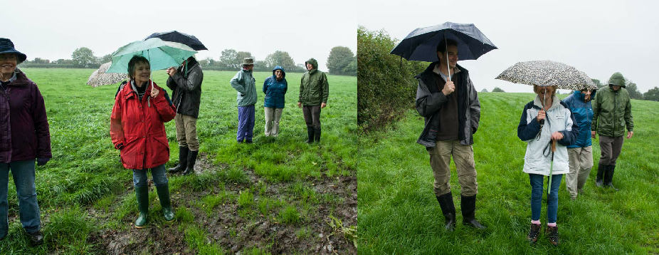
Dog owners are respectfully reminded to observe the Country Code.
Rights of way information
Each walk has a dedicated downloadable OS map courtesy of http://explorer.geowessex.com