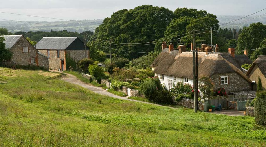
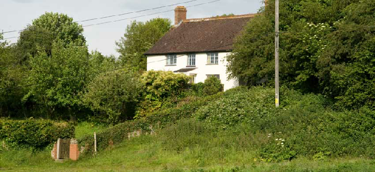
Thorncombe lies in a very beautiful part of West Dorset, bordering Devon and Somerset.
It falls within an Area of Outstanding Natural Beauty (AONB) . The Parish is over
5,200 acres in extent and is principally agricultural land.
Fields tend to be small and hilly with ancient hedgerows, while the access roads
to the village are very narrow lanes, shaded in summer by tall trees including oaks,
beeches and sycamores, and fringed with primroses, bluebells and cow parsley.
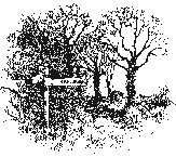
Local Walks
Over the years the Environment Group has produced 9 local walks described in detail
with maps .
You can download these walks and the maps , you can also buy for 50 p a copy of each
walk from the Village Shop in Thorncombe.
They are in a file in the corner of the shop.
PISSARRO AT HEWOOD
Lucien Pissarro (1863-1944), son of the famous Impressionist painter Camille Pissarro,
lived at Hill Cottage, Hewood for the last years of his life. Born 1863, he came
to London to escape political upheaval in France. With his wife, Esther, he established
the Eragny Press in 1892 which became a leading publishing house. Lucien designed
his own typeface while his wife did much of the engraving. The press closed in
1914 and Lucien returned to landscape painting, becoming a leading member of the
Camden Group of painters. The Pissarros frequently rented properties in the Dorset/Devon
borders between the wars, including Fishpond, Chideock and Hawkchurch, where Lucien
would paint the surrounding area. It was therefore natural that they would consider
a move to Dorset at the outbreak of war. ………….
Read
on……

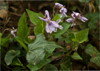
The parish of Thorncombe is rich in a wide variety of wildlife. There is a mixture
of arable farming and pasture, with wide hedges - many of which have been dated to
hundreds of years of age. Many hedges support mature trees, especially oaks, and
there are several pieces of woodland and copses in and around the village.
There is a healthy range of habitats, ranging from damp, boggy ground near the rivers
Synderford, Axe and Blackwater that surround the area, to sunny pastures and to the
high downland of Blackdown, providing suitable environments for a wide range of indigenous
plants and flowers and supporting healthy populations of insect-life.
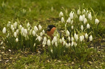
Deer are commonly seen in the fields - and gardens- as are rabbits, squirrels and
other small mammals. Many badger setts are clearly active in the area.
Bird life is exceptionally rich, with common visitors to bird-tables and gardens
including great-spotted woodpeckers, green woodpeckers, treecreepers, nuthatches,
siskins, jays and flycatchers. There are nesting buzzards in the Dungeon woods close
to the village centre. Herons are frequently seen flying over and visiting ponds
and lakes. Pheasants are bred for shooting so are also very common.
Chard Junction Nature
Reserve
We are very fortunate to have a brand new nature reserve on our doorstep. The reserve
at Chard Junction Quarry, grid reference ST 345045, has been developed by Dorset
Wildlife Trust. In the far west of the county, close to the Somerset and Devon borders,
it provides a much needed haven for wildlife as there are no other nature reserves
nearby. The community reserve, which has not seen any quarrying for many years,
contains important wildlife habitats, including woods, ponds and establishing grassland.
The reserve is in the southern part of the quarry, which is no longer used by site
owners Bardon Aggregates. The owners have worked closely with Dorset Wildlife Trust,
Somerset Wildlife Trust and Thorncombe Village Trust.
Volunteers from the area gave up their time and energy to cut back brambles and gorse,
make paths and benches, hang gates, lay down walk-ways, put up fencing and erect
information boards. The work is on-going, and more volunteers would be welcomed with
open arms…. Read on and see photos of the Reserve